This is the Heading
 Your content goes here. Edit or remove this text inline or in the module Content settings. You can also style every aspect of this content in the module Design settings and even apply custom CSS to this text in the module Advanced settings.
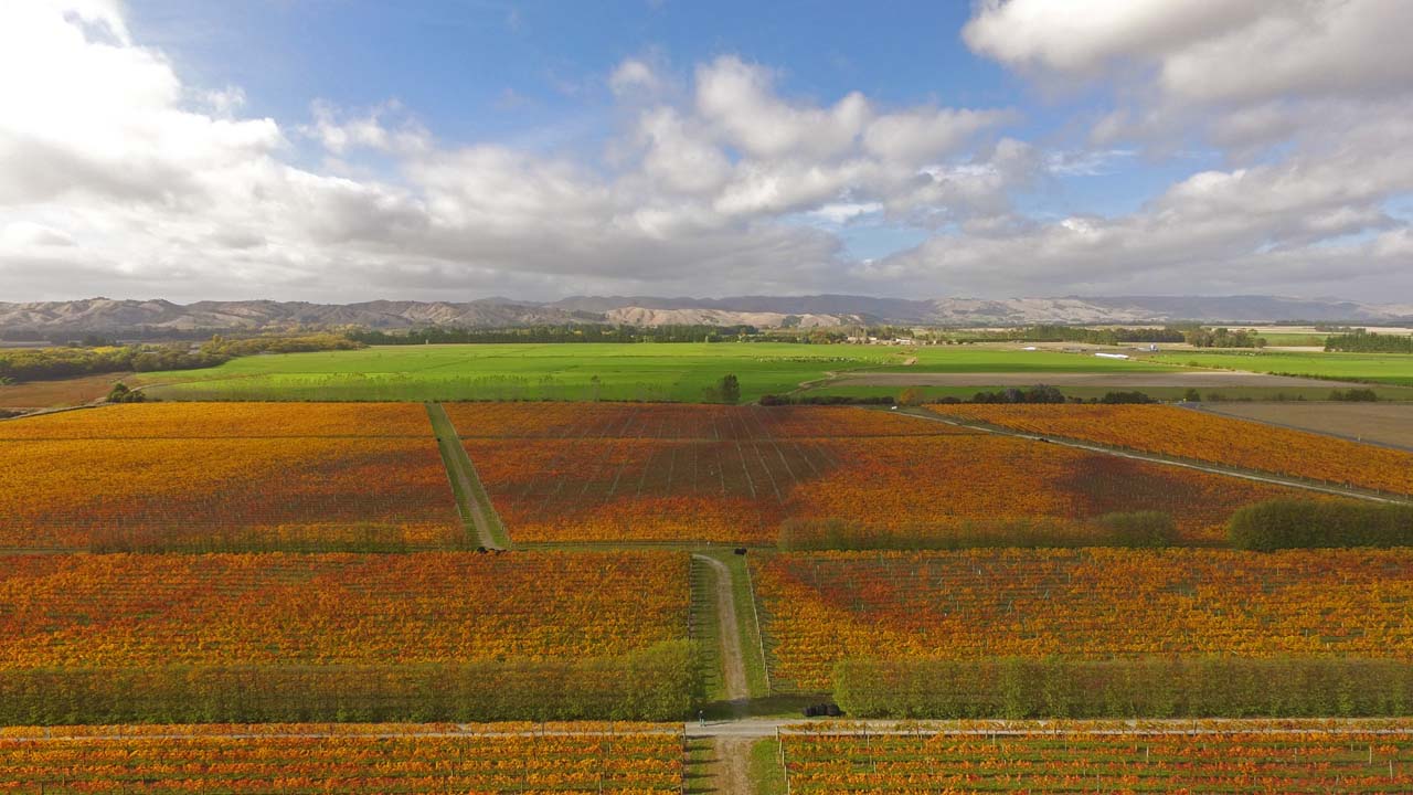
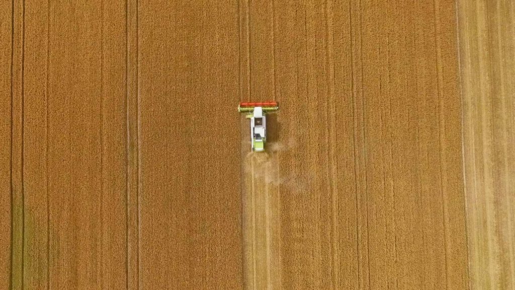
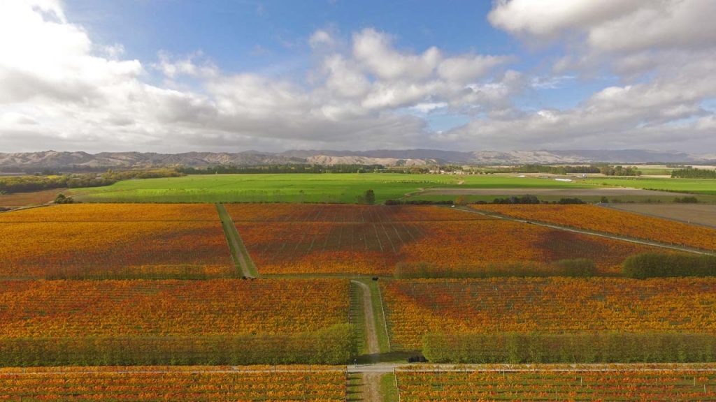
Agriculture
DCIM100MEDIADJI_0034.JPG
Aerial imagery is non invasive, convenient and comprehensive. It gives you a better understanding of the condition of roofs, gutters and hard to access areas.
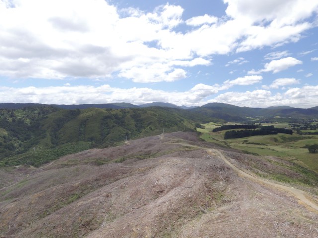
Forestry
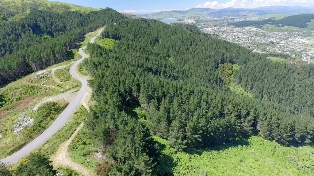 Aerial imagery provides a non invasive, convenient and comprehensive solution to better understand the condition of roofs, gutters and hard to access areas. Through photographic and video evidence a definitive record is provided.
Surveying and Mapping

- Title:
- Description:
- Author:
- Date/Time: 2017:01:15 21:54:08
Aerial imagery using a range of sensors provides the ability to survey, measure and analyze the condition of agricultural, forestry, residential and commercial assets.
Aerial imagery taken over the lifecycle of an asset provides benefits by tracking changes over time, by providing promotional, value add, evidence to stakeholders
Construction
Aerial imagery is non invasive, convenient and comprehensive. It gives you a better understanding of the condition of roofs, gutters and hard to access areas.
Forestry
Aerial imagery provides a non invasive, convenient and comprehensive solution to better understand the condition of roofs, gutters and hard to access areas. Through photographic and video evidence a definitive record is provided.
Surveying and Mapping
Aerial imagery using a range of sensors provides the ability to survey, measure and analyze the condition of agricultural, forestry, residential and commercial assets.
Aerial imagery taken over the lifecycle of an asset provides benefits by tracking changes over time, by providing promotional, value add, evidence to stakeholders